Integrated Approaches
Hydrologic models are useful tools
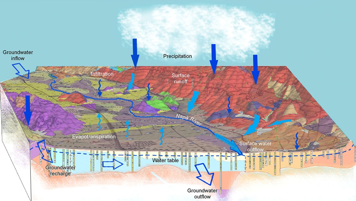
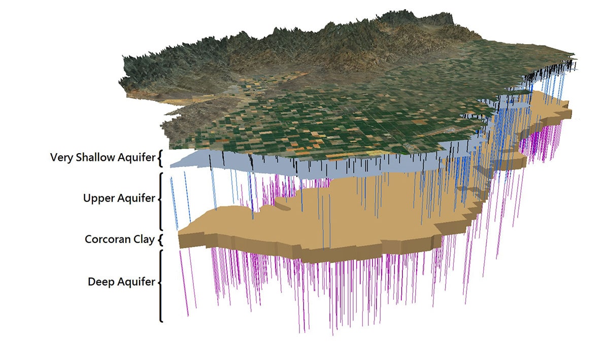
There are many hydrologic modeling approaches available, including conceptual, analytical, empirical, and numerical, each with strengths and weaknesses. Local and regional models already exist in some locations. Therefore, understanding of the capabilities and limitations of existing models and their platforms is key for developing an effective and efficient modeling approach. The selection of the appropriate modeling approach and conceptualization of the model framework (such as the hydrogeologic system, depositional environment, geologic structure, etc.) are critical for successful model application.
Our highly proficient scientists and engineers ensure that the type of model, the model scale, and the complexity of the model framework are commensurate with the objectives of your project.
We develop and apply models from local to groundwater basin scales, including the entirety of the Central Valley of California.
Expertise
- Conceptual, analytical, empirical, and numerical models
- Comprehensive groundwater basin resources evaluations
- Water budget analysis
- Well field optimization and basin development
- Aquifer management and conjunctive use evaluations
- Surface water and groundwater interaction (e.g., exchange between surface water features and underlying groundwater)
- Seawater intrusion into coastal aquifers
- Land subsidence
- Solute transport and groundwater quality (e.g., migration time, speciation)
- Non-point source contamination (e.g., salinity, nitrate)
- Vadose zone processes
Related Work
Projects
Madera-Chowchilla Groundwater-Surface Water Simulation Model (MCSim)
We developed MCSim, an integrated groundwater-surface water model for the Madera and Chowchilla Subbasins, to support sustainability analyses and the development of two Groundwater Sustainability Plans (GSPs). The model is built on the IWFM platform and was developed through substantial reconceptualization and refinement of DWR’s C2VSim-FG model. Model development involved...
Integrated Hydrologic Model of the Westside Subbasin
We developed an integrated hydrologic model for the Westside Subbasin to support SGMA analysis and Groundwater Sustainability Plan preparation on behalf of the Westlands Water District GSA. The model includes a robust simulation of the conjunctive use of groundwater and surface water in irrigated landscapes using the MODFLOW One-Water modeling...
Delta-Mendota Subbasin Groundwater Flow Modeling for GSP Development
Sustainable groundwater management is vital for the sustained economic and environmental wellness of the Delta-Mendota Subbasin. This is especially true for areas in Fresno County along the San Joaquin River, which is home to abundant agricultural production and diverse ecological conditions. We developed a fully 3-dimensional numerical flow model to...
What We Do


