Project Details
Project
Delta-Mendota Subbasin Groundwater Flow Modeling for GSP Development
Client
County of Fresno and Farmers Water District
Location
Fresno County
Creating a robust framework for groundwater management that will result in long-term sustainability
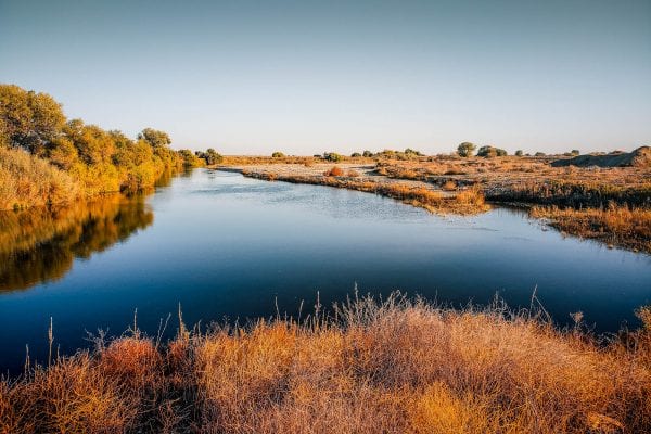
Sustainable groundwater management is vital for the sustained economic and environmental wellness of the Delta-Mendota Subbasin. This is especially true for areas in Fresno County along the San Joaquin River, which is home to abundant agricultural production and diverse ecological conditions.
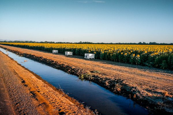
We developed a fully 3-dimensional numerical flow model to simulate surface water and groundwater movement in the southern portion of the Delta-Mendota subbasin over an area of 388 square miles. The model provides an indispensable tool to quantitatively predict and analyze future groundwater conditions under a wide array of hydrologic and climate conditions, land use patterns, and management scenarios. As such, it provides the basis for establishing management criteria for the long-term sustainability of the groundwater resource.
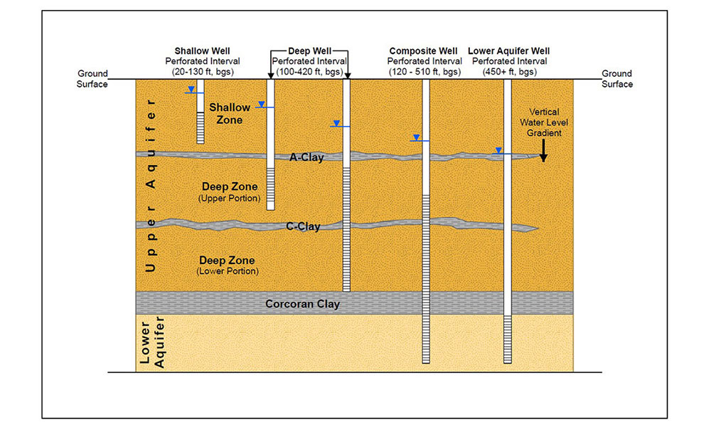
Model development was a highly coordinated effort bringing together six individual Groundwater Sustainability Plan groups in the subbasin. The model was developed from a hydrogeologic conceptual model of the study area that integrated (i) the geologic setting, (ii) aquifer characteristics, (iii) soil characteristics, (iv) surface water features, (v) groundwater flow regimes, (vi) climatic conditions, (vii) land use characteristics, and (viii) management decisions relating to surface water diversions and groundwater pumping for crop irrigation to comprehensively characterize the entire hydrogeologic system.
Significant Project Elements
- Hydrogeologic conceptual model development
- Quantification of surface water flows, groundwater conditions (groundwater levels and subsurface flow volumes between adjacent management areas) and aquifer compaction due to groundwater extraction
- Estimation of irrigation water demand using land use and climate data
- Integration of land use data available from multiple sources
- Incorporation of potential climate change factors, land use changes and irrigation practices to evaluate future hydrologic conditions
- Development of monitoring well networks
- Establishment of sustainable management criteria
- Effective engagement and coordination with local stakeholders other GSA groups
Project Details
Project
Delta-Mendota Subbasin Groundwater Flow Modeling for GSP Development
Client
County of Fresno and Farmers Water District
Location