Project Details
Project
Integrated Hydrologic Model of the Westside Subbasin
Client
Westlands Water District
Location
Western San Joaquin Valley
Development of an integrated hydrologic model of conjunctive use informs sustainable groundwater management
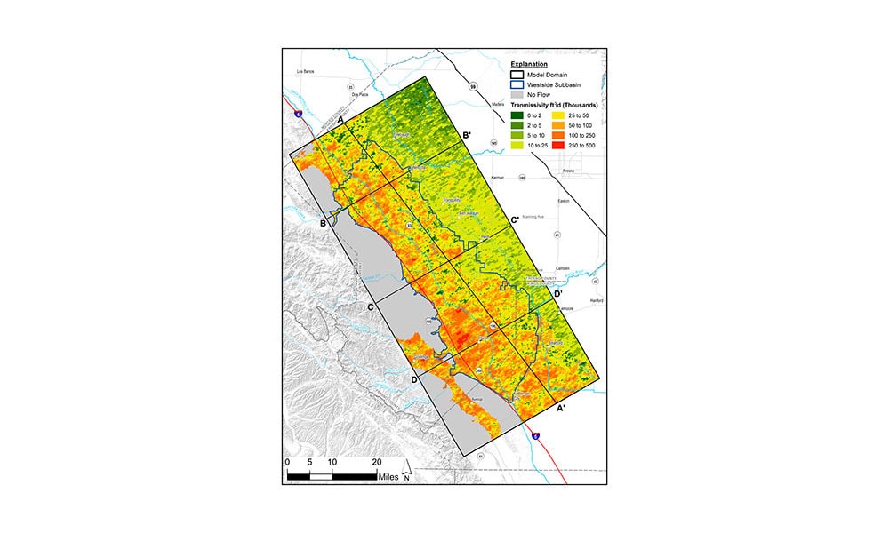
We developed an integrated hydrologic model for the Westside Subbasin to support SGMA analysis and Groundwater Sustainability Plan preparation on behalf of the Westlands Water District GSA. The model includes a robust simulation of the conjunctive use of groundwater and surface water in irrigated landscapes using the MODFLOW One-Water modeling software. Our work has also included the development of a tightly coupled approach for simulating salt loading and subsurface transport using the MODFLOW Farm Process and the MT3D-USGS contaminant transport code.
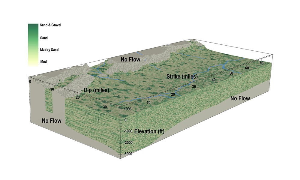
Model construction included conceptual model development and analysis and integration of borehole data into a 3D geostatistical model using TProGS. This data was coupled with water supply, landscape, and climate-forcing data to simulate historic groundwater conditions in the Subbasin.
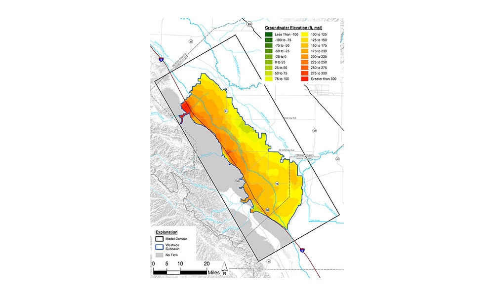
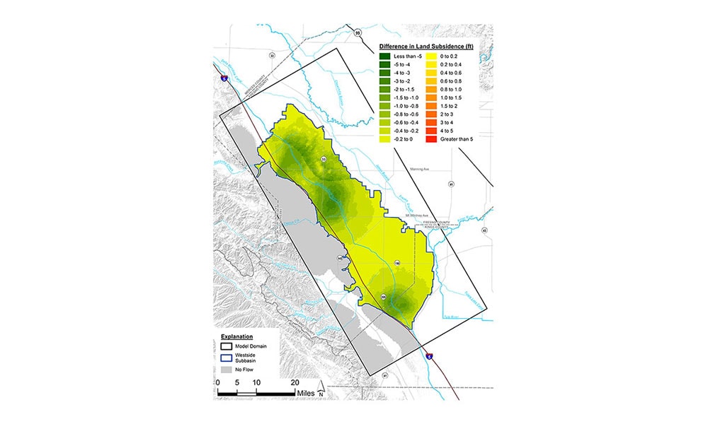
The model is used to evaluate projected groundwater conditions and compare the effects of proposed projects and climate change realizations on groundwater levels, land subsidence, and overdraft conditions through the year 2070.
The results of our work have been instrumental in providing the scientific framework for sustainable groundwater management and communicating results to water managers and stakeholders.
Significant Project Elements
- Spatial Analysis
- Geostatistical modeling
- Integrated hydrologic modeling
- Conjunctive use modeling
- Solute transport modeling
- Parameter estimation
- Sensitivity analysis
- Model scenario development
- Climate change analysis
Project Details
Project
Integrated Hydrologic Model of the Westside Subbasin
Client
Westlands Water District
Location
Western San Joaquin Valley
Related Services
Our Work


